Cumberland Gap National Historical Park
Middlesboro, KY
(2021)
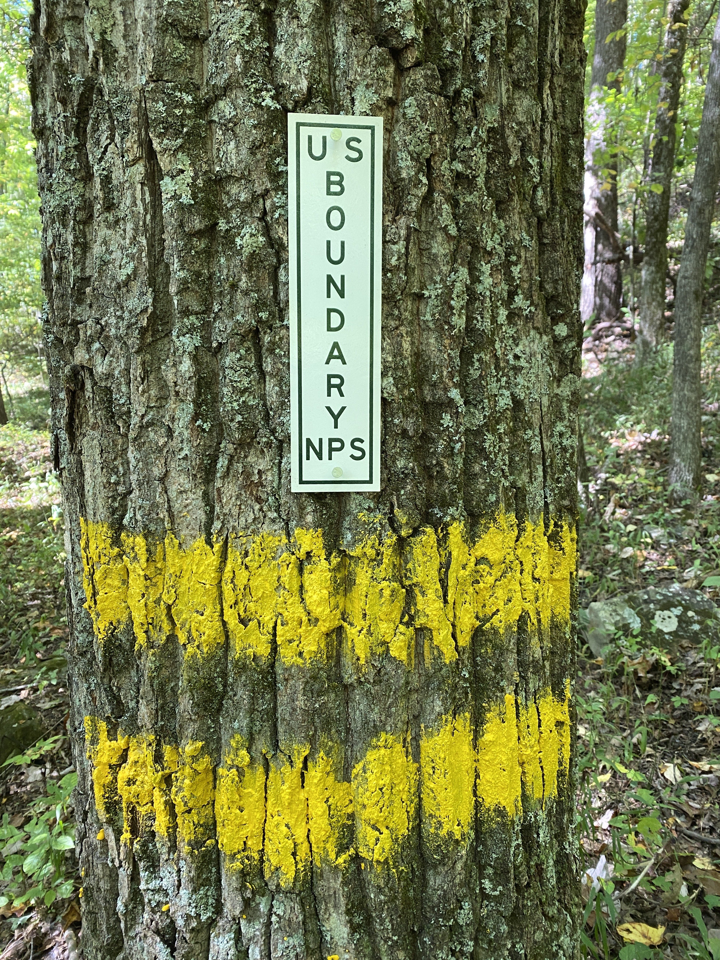
Honor Engineer Co. served as the prime contractor to delineate approximately 75 miles of boundary line at Cumberland Gap National Historical Park. Our team retraced the metes and bounds of the park boundary using AutoCAD drawings and plats, blazed trees with yellow paint, and placed NPS signs every 100 feet to mark federal property. We conducted a GNSS survey to ensure alignment with NPS geospatial data and recovered property corner monuments using high-accuracy RTK methods. The boundary metes and bounds were analyzed against existing monumentation, with any discrepancies addressed in coordination with the NPS. The project required navigating rough terrain, dangerous wildlife, and wilderness restrictions, often with limited access via UTV or on foot. Despite these challenges, we successfully completed the boundary marking and met all contract standards.


