No Guesswork. No Gaps. Just Solid Data.
Honor Engineer Company delivers advanced geospatial services that turn complex conditions into clear, reliable data. We combine traditional field surveying with high-tech tools including LiDAR, UAS platforms, GPS/GNSS, and advanced GIS to capture accurate spatial information efficiently and safely. From boundary and topographic surveys to LiDAR data collection, processing, and spatial analysis, our team focuses on precision, consistency, and practical deliverables. This provides geospatial intelligence clients can trust to support planning, design, and construction from start to finish.
Geospatial Services
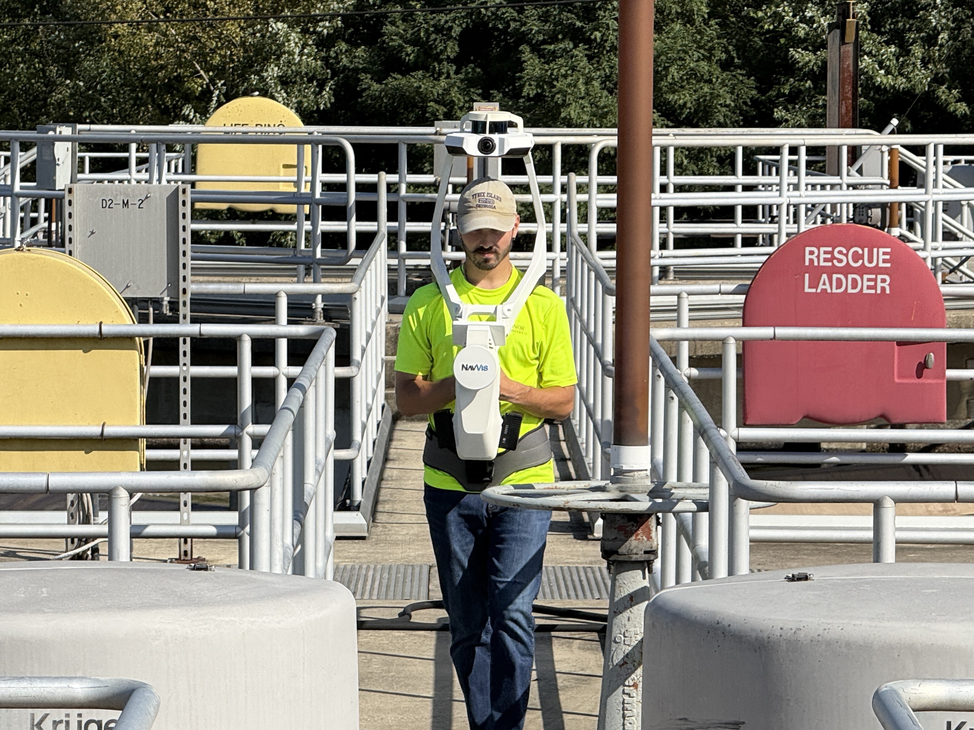
3D Laser Scanning / Reality Capture – High-resolution scans that capture existing conditions exactly as they are, creating accurate 3D models you can design, measure, and plan from with confidence.
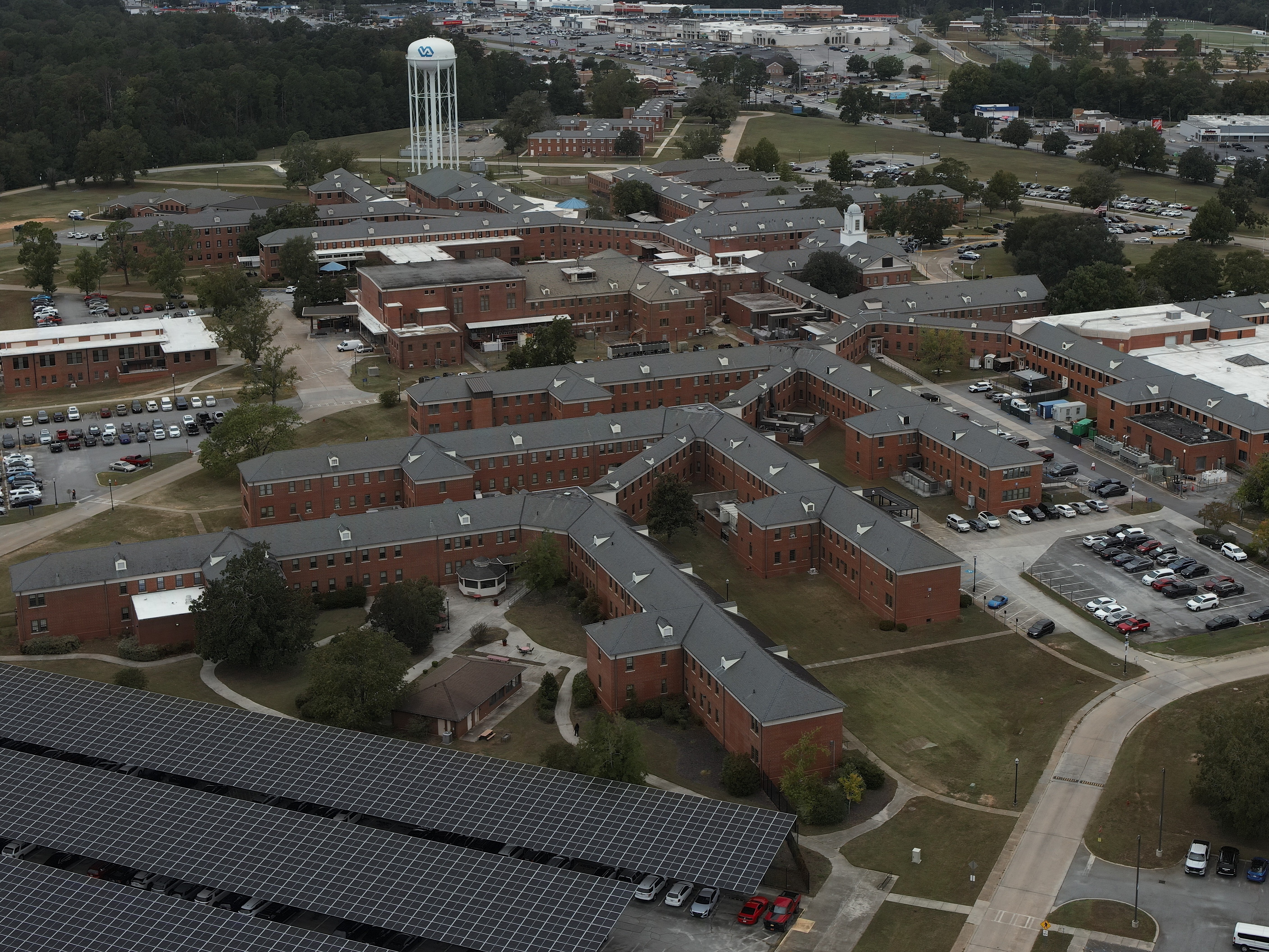
Aerial Imagery & LiDAR – UAS-based imagery and LiDAR deliver fast, detailed data over large or complex sites, reducing field time while improving accuracy and safety.
Geographic Information Systems (GIS) – We turn spatial data into usable intelligence by organizing, analyzing, and visualizing information to support smarter planning and decision-making.
Subsurface Utility Engineering (SUE) – Locating and mapping underground utilities before construction begins to reduce risk, avoid conflicts, and prevent costly surprises.
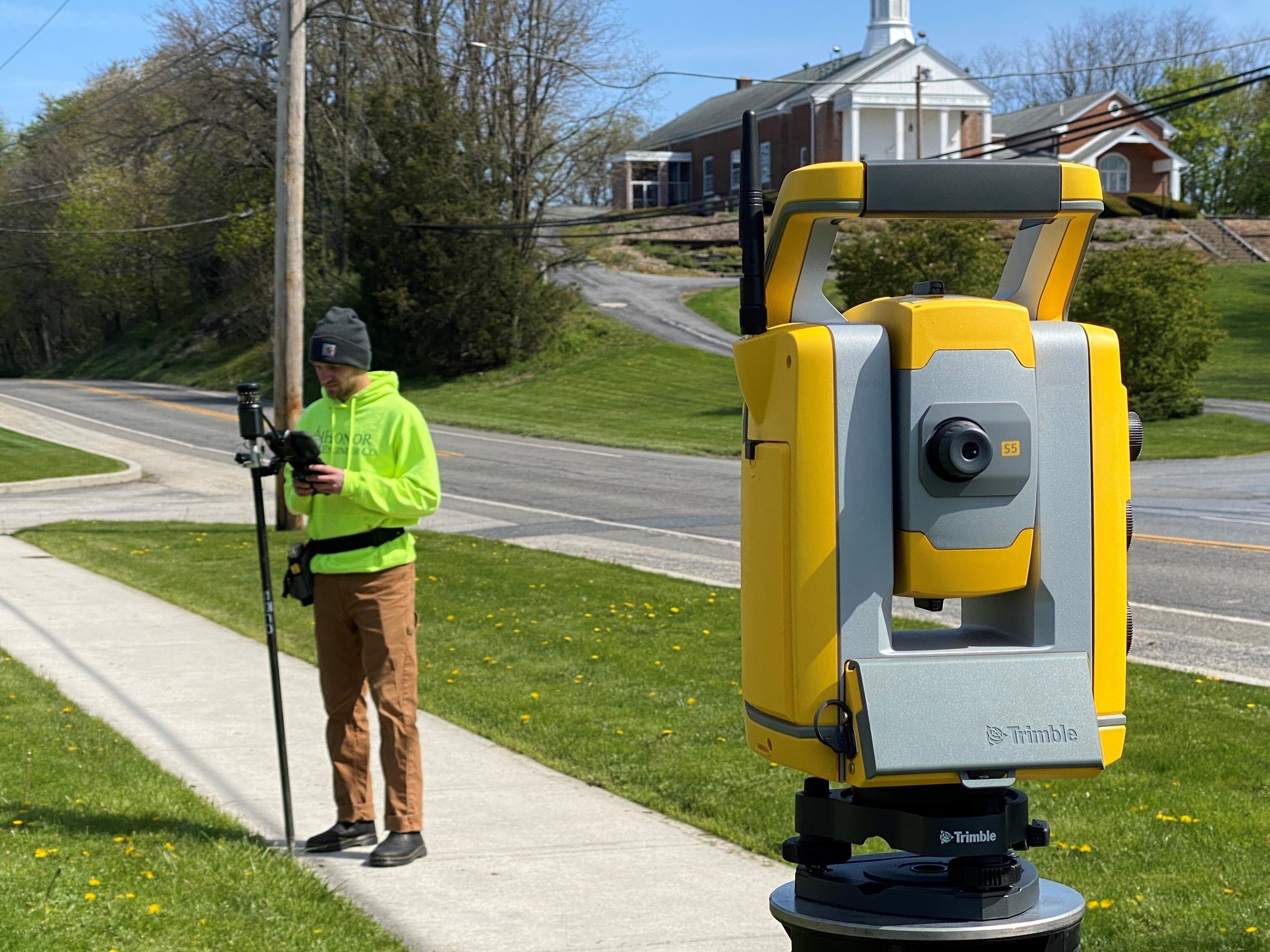
Geodetic Control – Establishing precise horizontal and vertical control networks that ensure every survey, scan, and design ties together accurately.
Land Surveying
Engineering & Topographic Surveys – Detailed mapping of existing conditions to support design, permitting, and construction with accurate, complete deliverables.
Boundary Retracement Surveys – Research-driven boundary determination that clearly defines property lines and resolves ownership questions with confidence.
ALTA / NSPS Surveys – Comprehensive surveys meeting national standards for commercial transactions, due diligence, and lender requirements.
Subdivision Plans – Clear, compliant subdivision layouts that support development approvals and long-term land use planning.
Construction Stakeout – Translating plans into the field with precision so construction starts correctly and stays on track.