Project Overview
Honor Engineer Company served as prime contractor to delineate and mark approximately 75 miles of boundary line for Cumberland Gap National Historical Park, a 24,000-acre federal property spanning three states. The project involved retracement of existing metes and bounds descriptions, boundary verification, and physical marking of federal lands in accordance with National Park Service standards.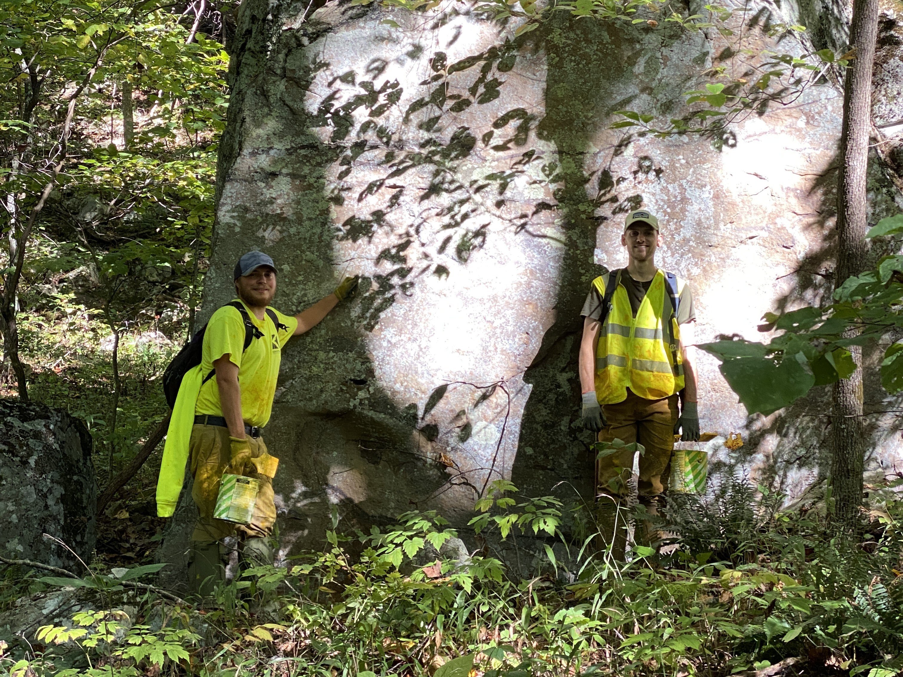
Key Challenges & Solutions
The project required extensive fieldwork in remote and rugged terrain with limited access, requiring travel by foot and UTV while navigating environmental constraints, wildlife hazards, and restricted communication.
Honor performed GNSS surveying to align with NPS geospatial data and utilized RTK methods to recover and verify existing boundary monuments. Survey data was analyzed to confirm consistency between recorded metes and bounds and field conditions, with coordination performed with NPS to resolve discrepancies.
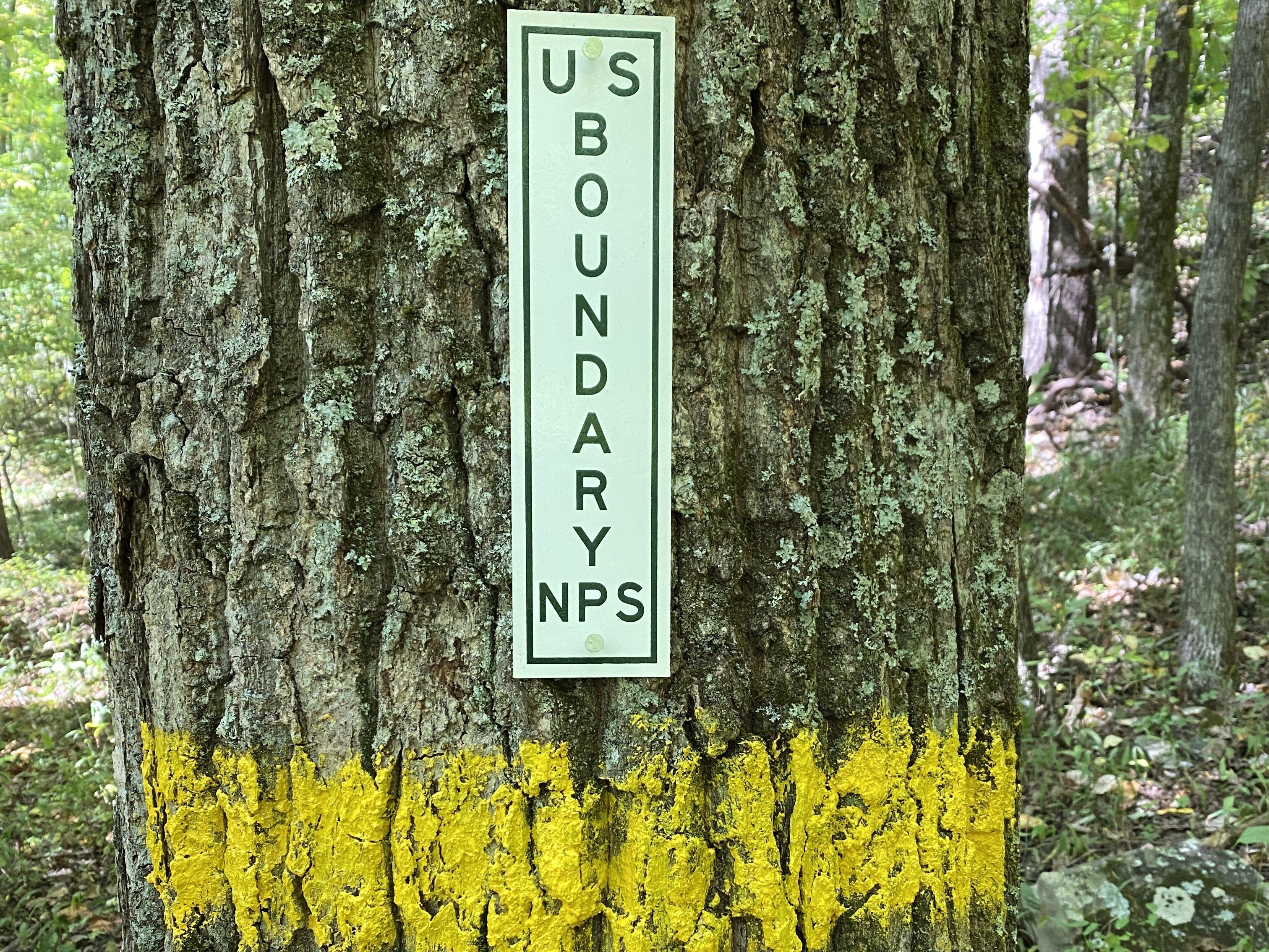
Field crews physically marked the boundary by blazing trees and installing NPS signage at regular intervals, creating a clearly defined and compliant federal boundary line.